Join Our Monthly Newsletter to stay up-to-date on Miami Conservancy District news
Flood protection isn’t just about dams, levees, and floodgates—it’s about timely information, accurate forecasts, and strong partnerships. At the Miami Conservancy District (MCD), our ability to keep Southwest Ohio safe from flooding relies on close collaboration with federal partners, including the National Oceanic and ...

During March 1913, the citizens of the Miami Valley experienced a natural disaster unparalleled in the region's history. Within a three-day period, nine to 11 inches of rain fell throughout the Great Miami River Watershed. The ground was already saturated from the melting of snow and ice of a hard winter. The ground could absorb litt ...

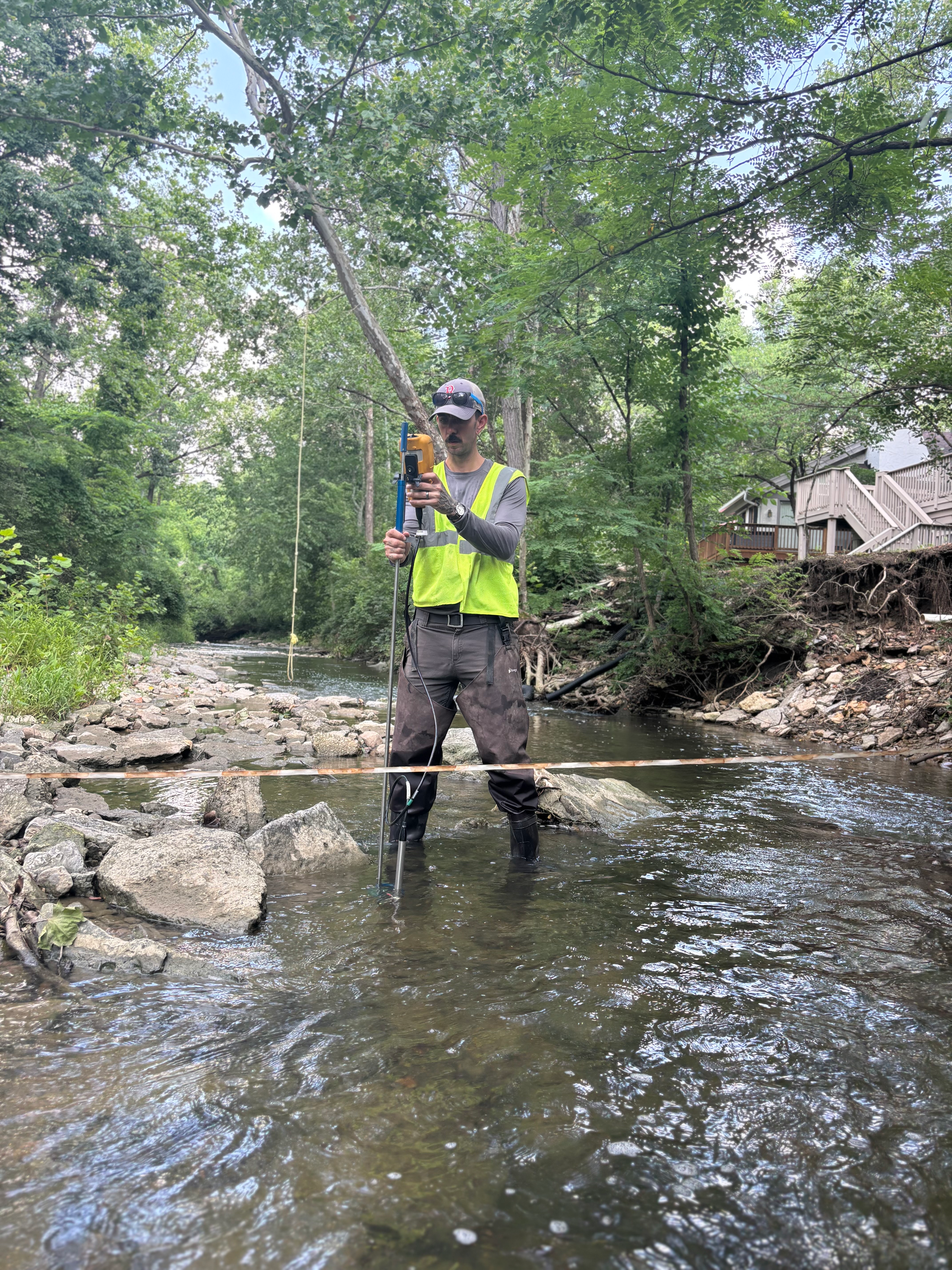
Groundwater is a critical resource for drinking water, agriculture, and industry in the Great Miami River Watershed. Since 2014, the Miami Conservancy District has led a comprehensive groundwater monitoring program to better understand the impact of human activities on this vital resource. Our latest study provides a detailed look into t ...

How does Miami Conservancy District tackle river cleanup? If you’ve seen photos after a flood storage event, you know how massive the amount of drift and debris can be. Logs, branches, and unfortunately, a lot of litter collect along the riverbanks and near the dams, blocking bike trails and hindering maintenance. So, what happens ...

As 2024 winds down, residents of Southwest Ohio are still feeling the effects of a prolonged drought. For much of the second half of the year, river and stream flows have been lower than usual, and groundwater levels have dipped, sparking concerns about water availability. But there’s a glimmer of hope on the horizon: the NOAA Winte ...

Life in early 1900s labor camps was grueling, marked by harsh conditions, makeshift housing, and a rough social landscape. But Arthur Morgan, Chief Engineer of the Miami Conservancy District, envisioned something radically different. While others saw laborers as transient workers, Morgan saw an opportunity to reshape lives and com ...

In the heart of downtown Dayton, a network of innovative open loop geothermal systems quietly works to cool 35 buildings and facilities. These systems pump groundwater from wells into heat exchangers, providing an energy-efficient way to cool buildings before discharging the water into the stormwater sewer system. This water eventually fl ...

Water is a precious resource, and in Ohio, it's not just about turning on the tap. From the shores of Lake Erie to the banks of the Ohio River, water rights play a crucial role in our daily lives. Let's dive into the world of Ohio water rights and explore what it means for you as a resident. The Riparian Doctrine: Your Stream, Your Rig ...

Drought in Ohio: 2024 Overview Southwest Ohio faced severe drought this year, with dry conditions lingering from mid-June through October. As the heat intensified in September, parts of Ohio, especially southeastern Ohio, slipped into extreme drought. For Ohio’s agricultural sector, the timing couldn’t have been worse& ...

For over 100 years, Lockington Dam has stood strong, protecting downstream communities in Southwest Ohio from destructive floodwaters including Piqua, Troy, Dayton, and Hamilton. Despite the ravages of time and weather extremes, the dam has never failed in its mission. However, like all aging structures, it requires attention to keep it s ...

MCD Levee in Dayton, OH FEMA adopted the National Flood Insurance Program's (NFIP) pricing approach called Risk Rating 2.0 starting April 1, 2023. This allowed FEMA's rates to become more equitable and flexible (fema.gov). Their 1970s legacy methodology was based on relatively static property elevation data within flood zones on a&nb ...

Why Miami Conservancy District Uses Turf Maintaining the levee embankments is essential to reducing flood risk. Properly managing turf and other vegetation plays a critical role in protecting the integrity of dams, levees, and flood channels. With over 1,500 acres to inspect and maintain, grass is both an effective and affordable ...

MCD dams, levees, and other parts of the flood protection system have worked harder and stored more water in recent decades. This results in stress on the system. More frequent events add pressure on infrastructure that is aging and in need of repair and renewal. Four major factors are identified that could pose risk to ...

Year in review - 2023 was drier than normal The U.S. Drought Monitor shows most of our region remains in abnormally dry conditions. Total precipitation and snowfall at Dayton are tracking well below the 1991 – 2020 average. The year 2023 will go down as a warmer and drier than normal year. The charts below show how temper ...

Map focused on areas near the cities of Franklin and Carlisle, Ohio To understand the flood impacted areas at different river stages along the Great Miami River a new Flood Inundation Map was initiated by the Miami Conservancy District and the Ohio Silver Jackets to help people understand the risk of flooding in the Franklin and Carlisle ...

by Emma Allington, MCD engineering associate With their historic economic power, everlasting natural beauty, and surging recreation appeal, Dayton’s rivers are the crowning jewel of the Gem City. However, challenges along these great rivers, such as deteriorating trail infrastructure and dangerously steep levees, continue to restri ...

MCD announces a naming contest - you can suggest names for a new remote-operated robotic mower. The contest kicks off Friday, July 28 and will accept names until August 11. To properly maintain a large integrated flood protection system that includes five dams and 55 miles of levees - there are lots of steep slopes and difficult places ...

With its abundant supply of high quality groundwater, the buried valley aquifer system is the most important aquifer in southwest Ohio. MCD works to study and protect groundwater through testing, reporting, educating, and stewardship activities. Proper management of this resource will ensure the aquifer continues to support and ...

Every public water system in Ohio that relies on groundwater has a defined source water protection area. A source water protection area is a map of all the land area over the aquifers which provide drinking water to a particular public water system. It is the responsibility of each municipal public water system to develop a plan to ...

The good news is that our rivers, streams, and groundwater are not connected with the runoff from the train derailment site in East Palestine, Ohio. In fact, they drain a totally different direction. The Great Miami River Watershed drains INTO the Ohio River – not the other way around. Water in the Ohio River is not physically able ...

