The Great Miami River, Stillwater River and Mad River, along with Twin Creek, Greenville Creek and Buck Creek, make up one of only 35 national water trail systems (designated by the U.S. Department of the Interior) and the only one in Ohio. The three rivers are state-designated water trails, too. And the Stillwater River and Greenville Creek are state-designated Scenic Rivers.
Switch to Map ViewAmenities Parking Lot Drinking water Picnic Area Recreation Trail Access About 7 acres Paved walking path Trailhead Picnic shelter Parking lot Dog park Roadside Park is located on the site of a former State of Ohio rest area on State Route 66. It is a 7-acre park that offers a shelter, grill and picnic tables in wooded s ...
Amenities Parking Lot Picnic Area Boat Ramp About This park is 7.5 acres and is Americans with Disabilities Act (ADA) Accessible with grill, lake, river, picnic area with shelter and play equipment. Park features Fishing Modular Play Structure and Swings Natural Areas Open Green Space Shelter Topographic Featu ...
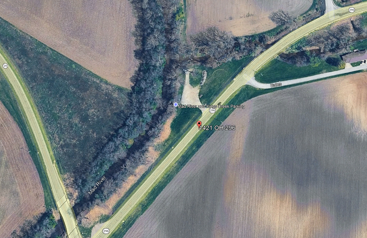
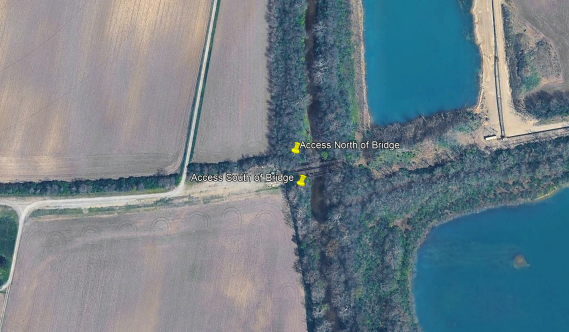
Amenities Roadside Parking Canoe Rental
Amenities Parking lot Drinking water Restrooms Picnic Area Boat Ramp About Shawnee Lookout is well known for its historical Springhouse School and Native American archaeological earthworks. The park's nature trails, including the 1.3-mile Blue Jacket, 2.0-mile Little Turtle and the 1.4-mile Miami Fort trail, offer spectacular ...
No Listed Amenities Buck Creek is a great run for some whitewater. If you want to run the whole creek, start at the CJ resevoir and paddle down to Snyder Park for a 5 mile stretch. All together there is about 10 drops to run and possibly surf at the right levels. After the creek combines with the tributary creek, you’ll go through ...
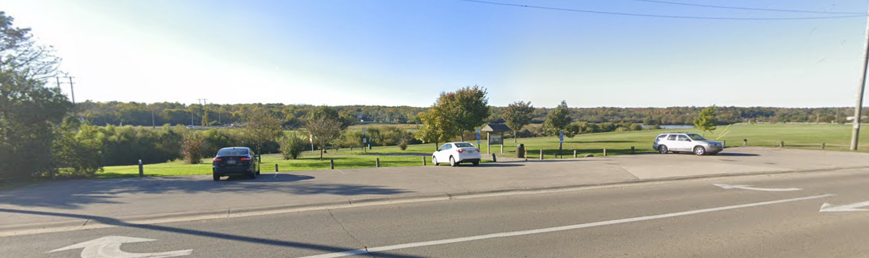
Amenities Parking Lot Picnic Area Drinking Water Restrooms Recreation Trail Access
Amenities Parking lot Picnic Area Boat Ramp Recreational Trail Access Whitewater Feature
Amenities Parking Lot Recreational Trail Access
Amenities Parking Lot Recreation Trail Access