The Great Miami River, Stillwater River and Mad River, along with Twin Creek, Greenville Creek and Buck Creek, make up one of only 35 national water trail systems (designated by the U.S. Department of the Interior) and the only one in Ohio. The three rivers are state-designated water trails, too. And the Stillwater River and Greenville Creek are state-designated Scenic Rivers.
Switch to Map ViewAmenities: Parking Lot Drinking Water Recreational Trail Access A 1913 Flood Driving Tour booklet available from the Piqua Public Library (in the Fort Piqua Plaza) will give you an overview of the devastation caused by the flood as well as a sense of the lives that were forever impacted by the floods. The tour starts at t ...
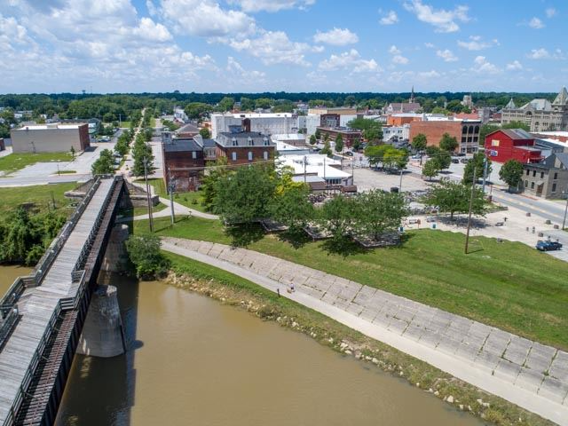
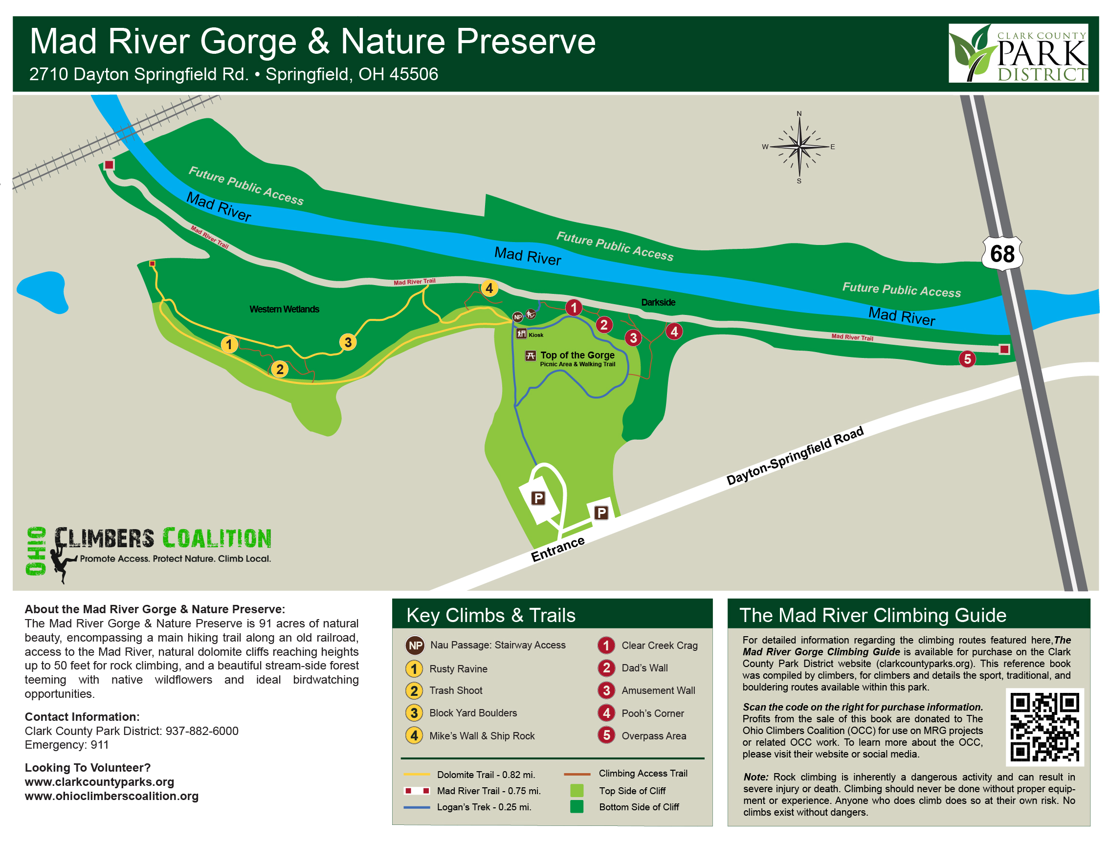
Amenities Parking Lot Restrooms Recreation Trail Access We all have a responsibility to care for Clark County’s waterways. National Trail maintains 12 miles of waterways throughout Clark County which includes all of Buck Creek, portions of the Mad River and other smaller waterways. National Trail works with the Springfield Con ...
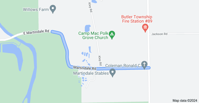
Amenities: Parking Lot Boat Ramp Recreational Trail Access
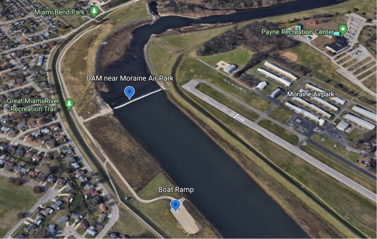
Amenities Parking Lot Boat Ramp Recreation Trail Access About Miami Bend Whitewater Park is a recreational facility offering a range of outdoor activities for visitors of all ages. The park provides opportunities for water sports, picnicking, and nature exploration in a scenic setting. Guests can enjoy kayaking, paddleboarding, a ...
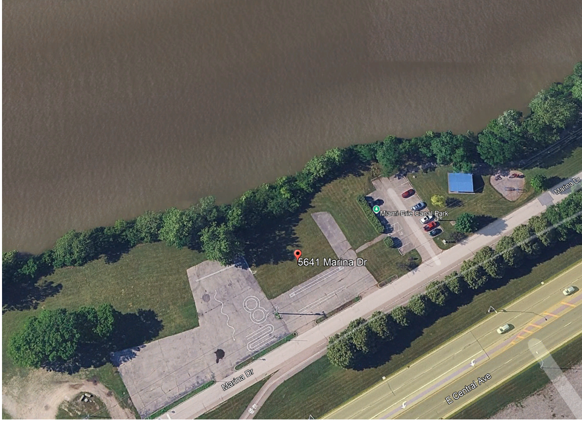
Amenities Parking Lot Boat Ramp Recreation Trail Access
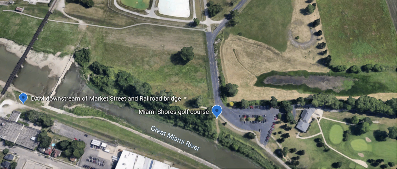
There is also a bike fix-it station here. Amenities Parking Lot Recreation Trail Access The Miami Shores Golf Course is a municipally owned 130-acre, 18-hole course with rye/bluegrass fairways and bentgrass greens. Designed by world-renowned architect Donald Ross and opening in 1949, Miami Shores is a daily fee, public golf course ...
Amenitites Parking Lot
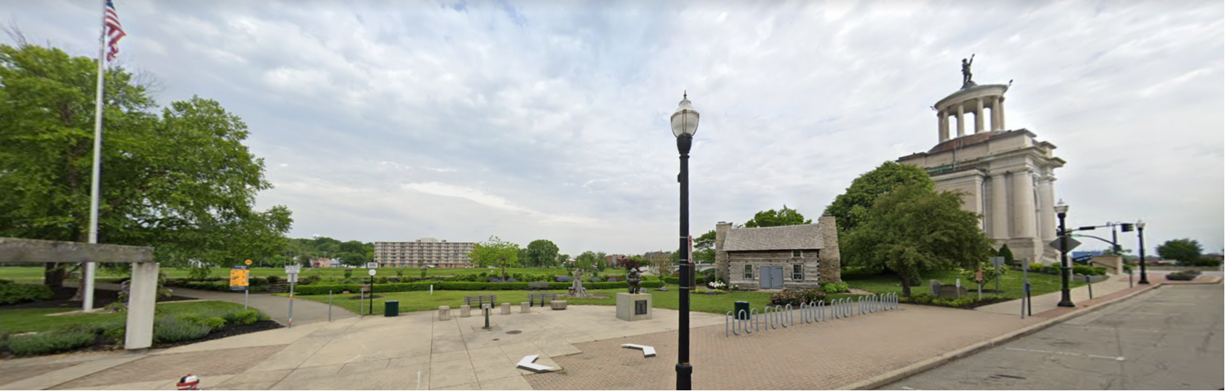
Amenities Parking Lot Picnic Area Recreation Trail Access About 5 S Monument Avenue Hamilton, OH 45011 0.8 acres Access to Great Miami Recreation Trail Historical Monuments and Sculptures Butler County Soldiers MNMNT