The Great Miami River, Stillwater River and Mad River, along with Twin Creek, Greenville Creek and Buck Creek, make up one of only 35 national water trail systems (designated by the U.S. Department of the Interior) and the only one in Ohio. The three rivers are state-designated water trails, too. And the Stillwater River and Greenville Creek are state-designated Scenic Rivers.
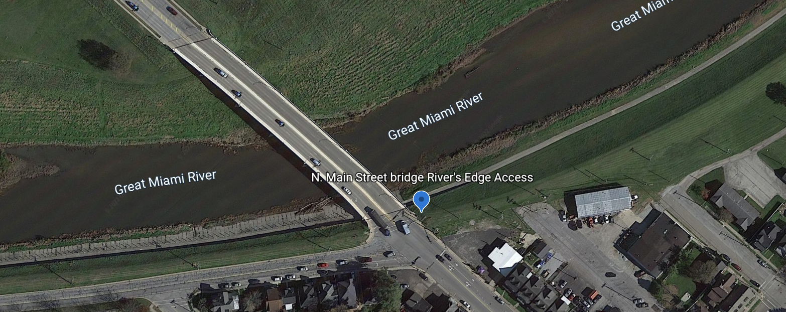
Switch to Map ViewAmenities Roadside Parking Recreation Trail Access
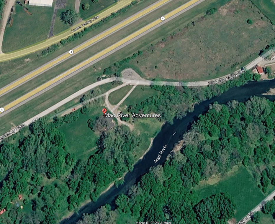
Mad River Adventures Amenities Canoe Rental
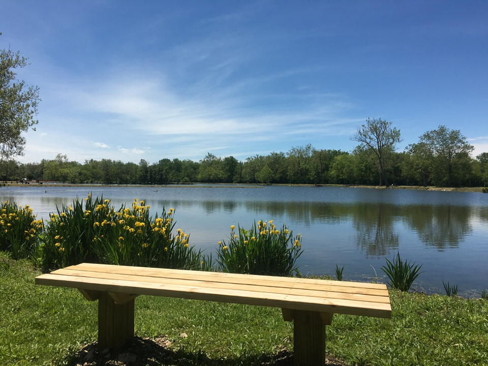
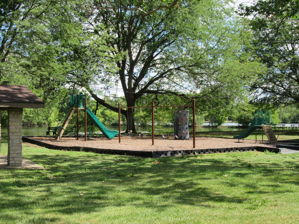
Amenities Parking Lot Picnic area Relax along the tranquil ponds and lagoons or take the court with a game of tennis or volleyball–Old Reid Park has it all! This 60-acre park offers shelter houses, a playground, volleyball courts, nine lighted soft tennis courts, shuffleboard courts, and fishing (no license needed). This park ...
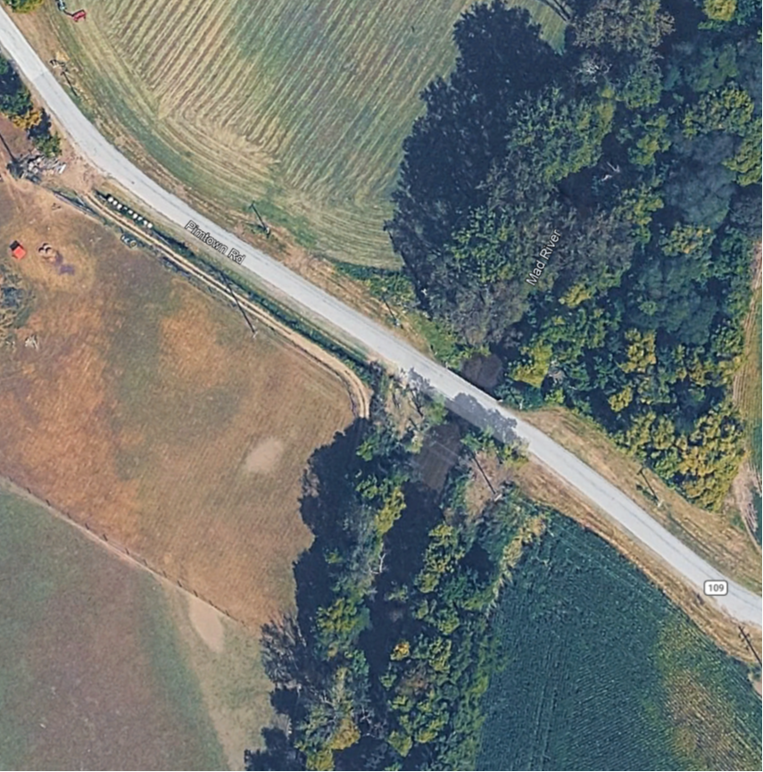
Access river right Amenities Roadside Parking
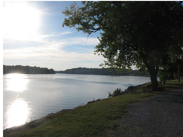
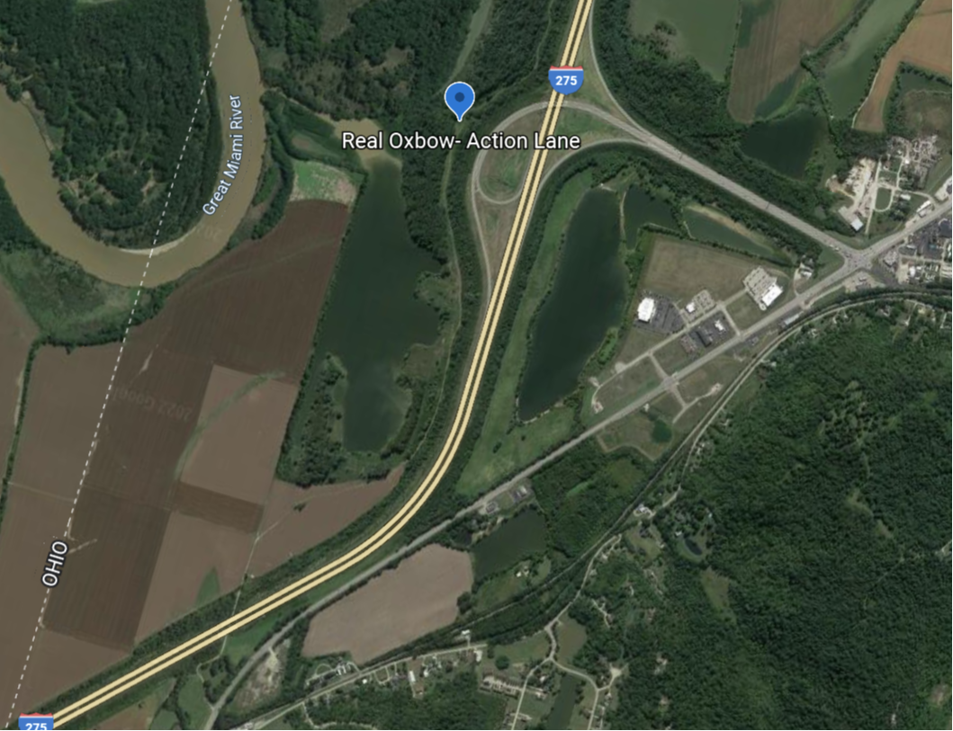
No Listed Amenities About Protecting and preserving wetlands In the central Ohio Valley, the most important remaining wetland is a 2500-acre spread of level river bottom farmland on the shore of the Ohio River, know as the Oxbow. The Oxbow is a broad floodplain where the Great Miami River empties into the Ohio. This area where three ...
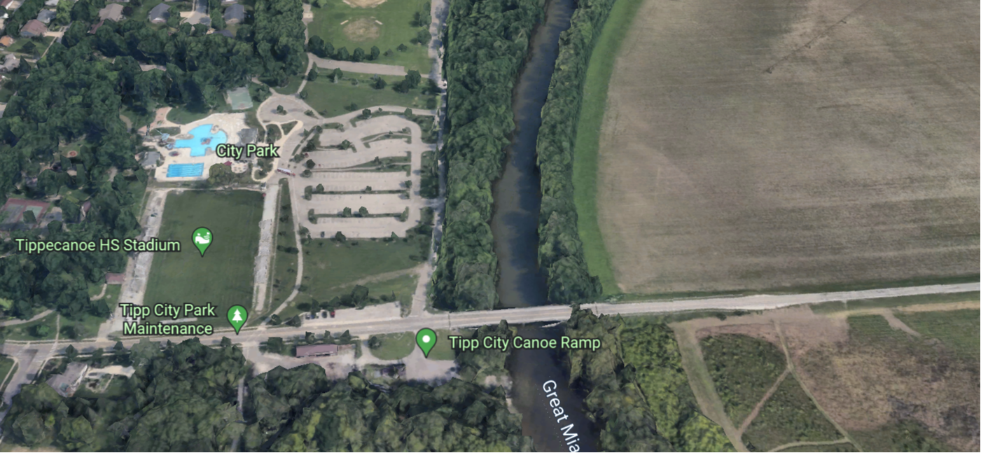
Amenities Parking Lot Restrooms Drinking water Picnic Area Boat Ramp Recreation Trail Access Canoe Rental Canoe Ramp present
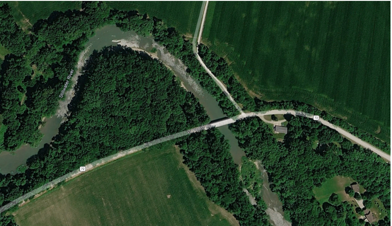
Amenities Roadside Parking
Amenities Roadside Dirt/Gravel Parking
Amenities Parking Lot Recreation Trail Access About Miami County will receive $1.4 million to conduct demolition and remediation activities at the Piqua Power Plant Waterfront property, located at 919 South Main Street in the City of Piqua. Upon remediation, the County, the City, and Piqua Improvement Corporation plan to redeve ...
Access river left. Amenities Parking Lot