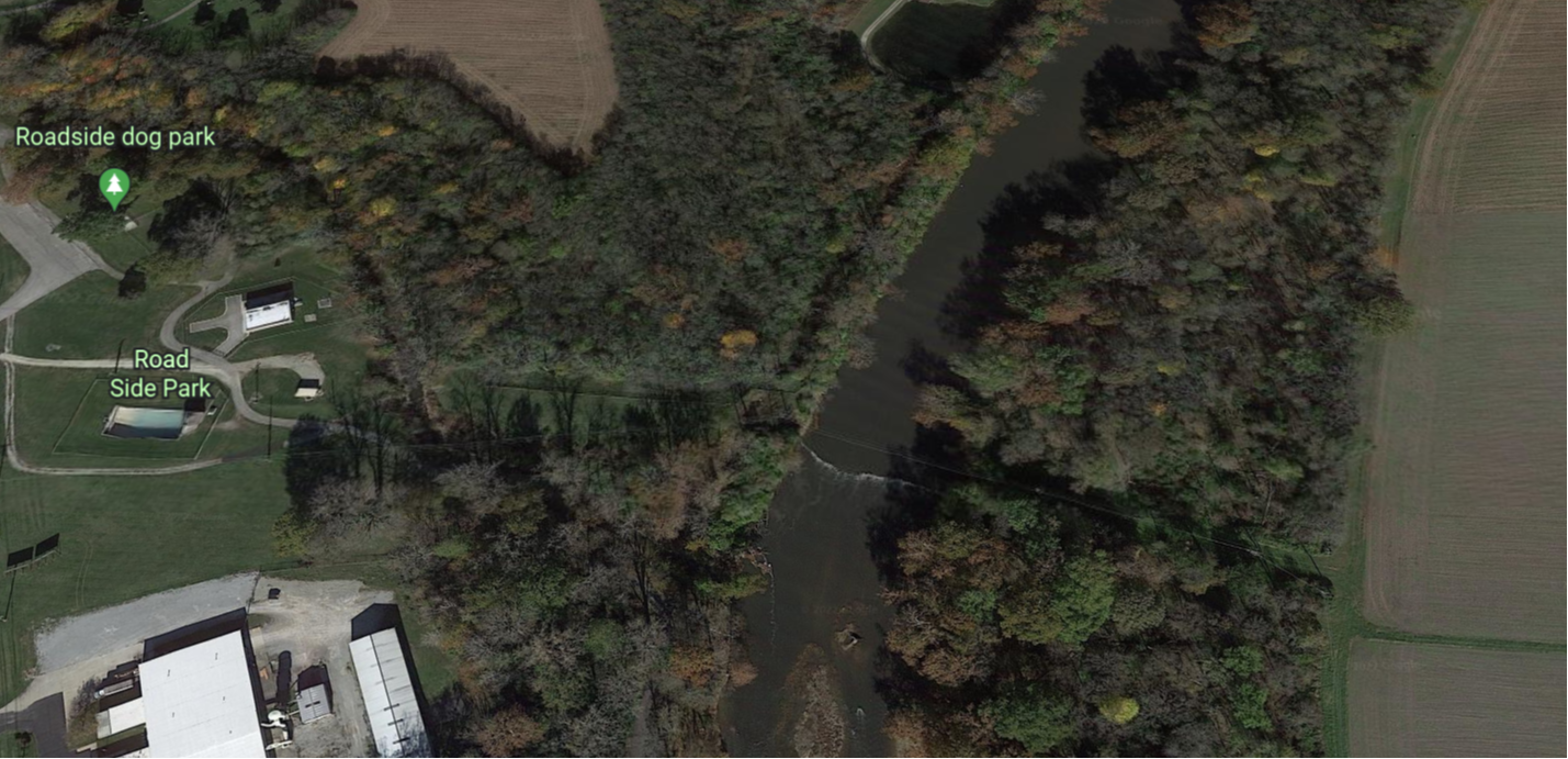
The Great Miami River, Stillwater River and Mad River, along with Twin Creek, Greenville Creek and Buck Creek, make up one of only 35 national water trail systems (designated by the U.S. Department of the Interior) and the only one in Ohio. The three rivers are state-designated water trails, too. And the Stillwater River and Greenville Creek are state-designated Scenic Rivers.
Switch to Map ViewLocated in Wright Patterson Air Force Base
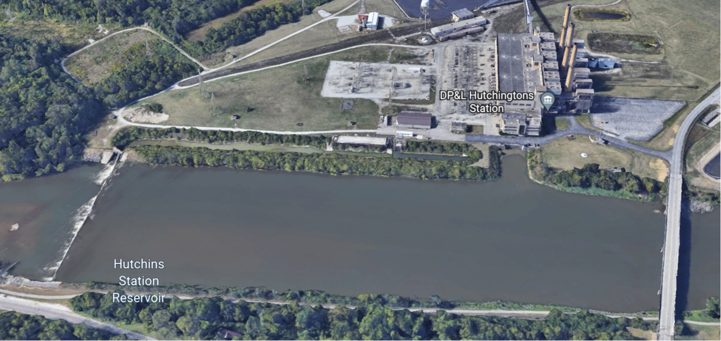
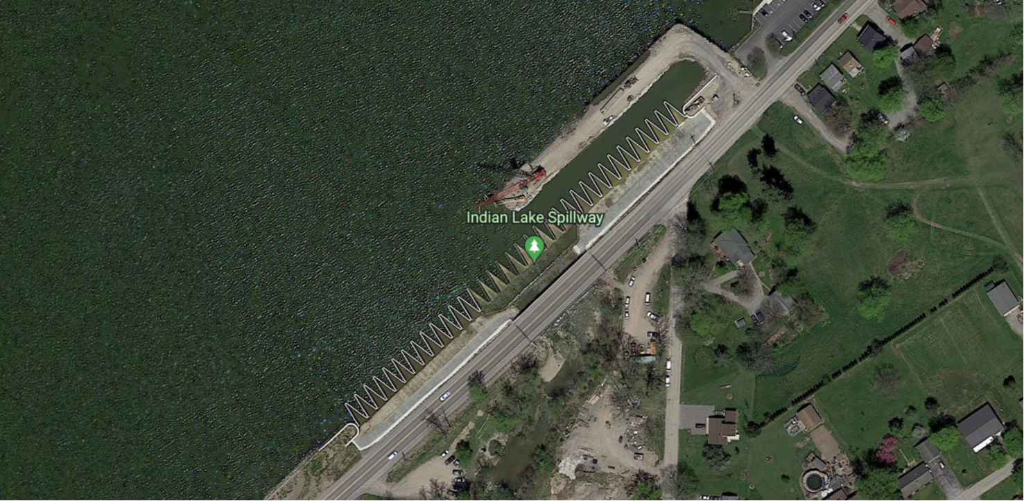
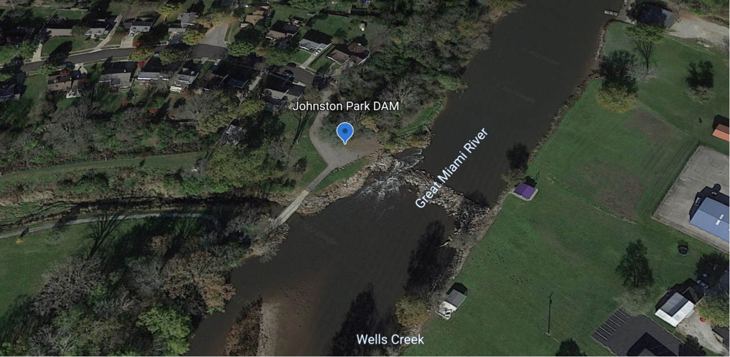
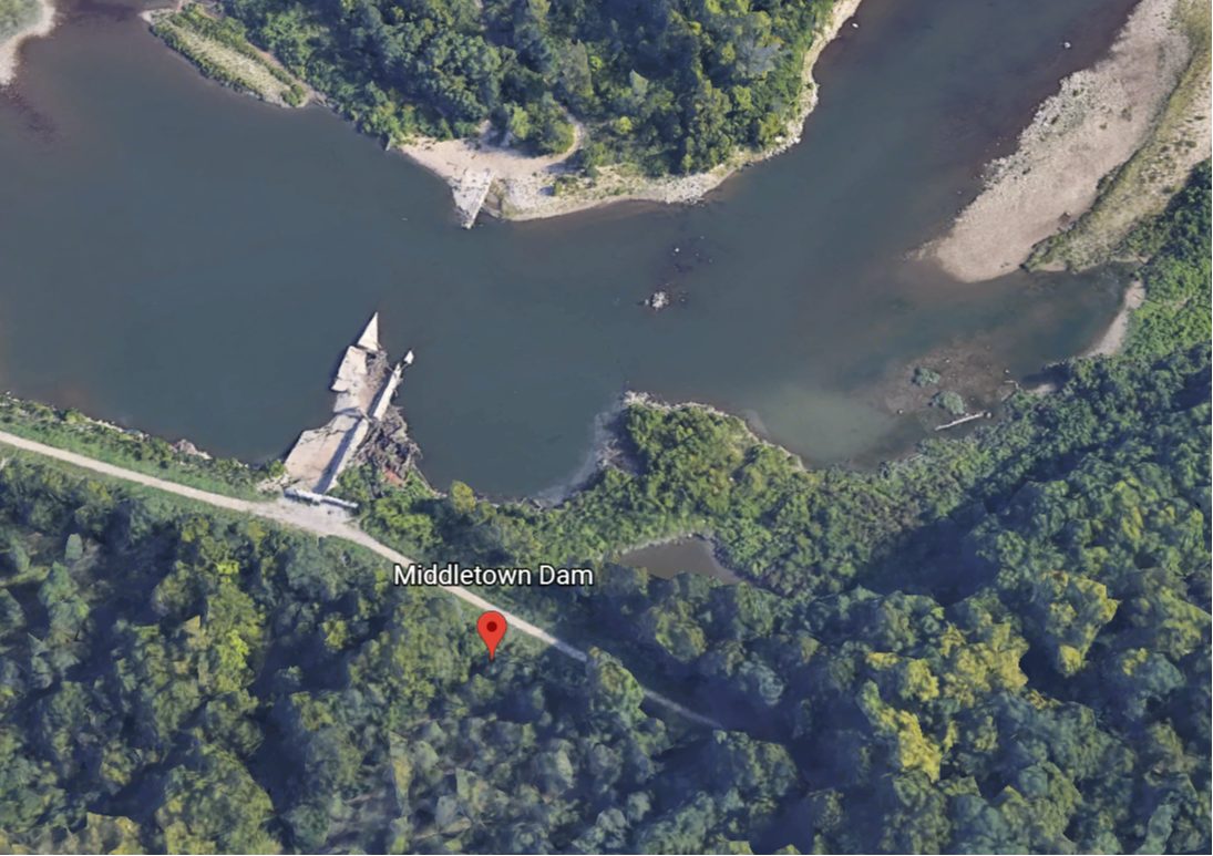
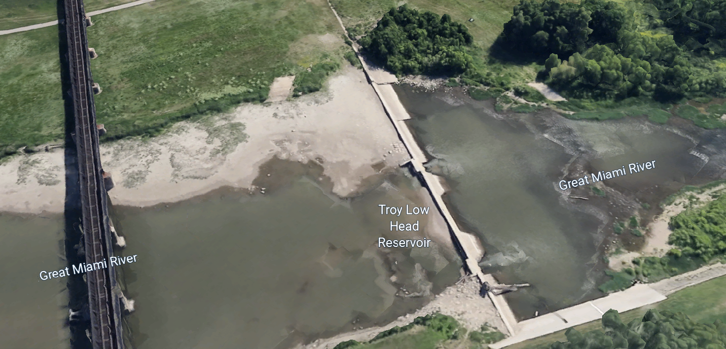
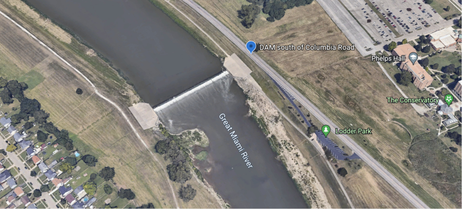
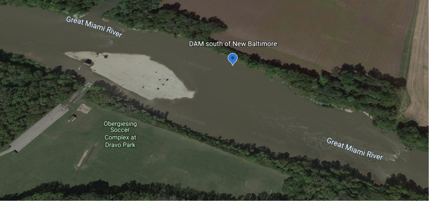
(portage left or right)