The Great Miami River, Stillwater River and Mad River, along with Twin Creek, Greenville Creek and Buck Creek, make up one of only 35 national water trail systems (designated by the U.S. Department of the Interior) and the only one in Ohio. The three rivers are state-designated water trails, too. And the Stillwater River and Greenville Creek are state-designated Scenic Rivers.
Switch to Map View(small rapid) Along Riverscape Metropark Amenities Roadside Parking Restrooms Drinking Water Picnic Area Whitewater Feature Recreation Trail Access
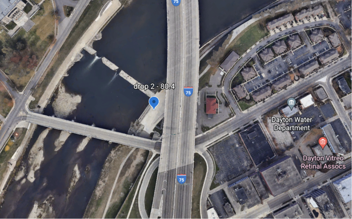
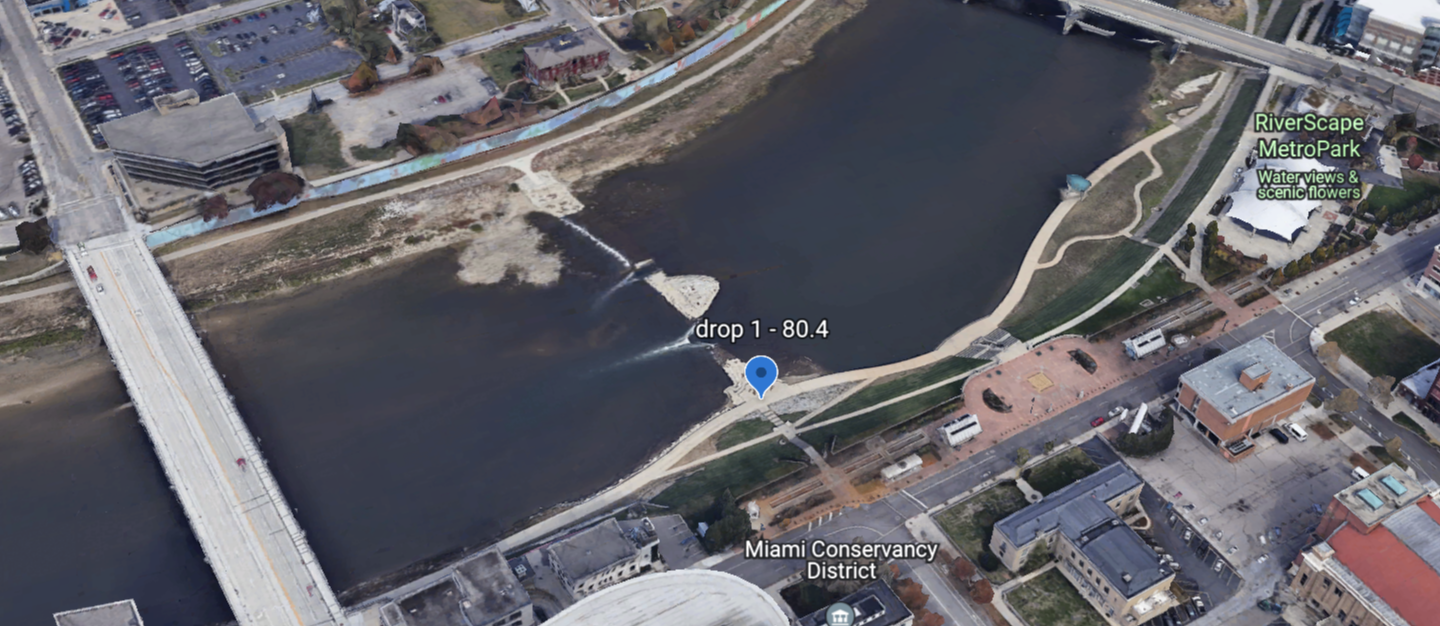
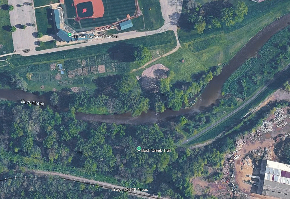
Buck Creek Whitewater Park (access right) Drop 1 (Class II+) Drop II (Class I)
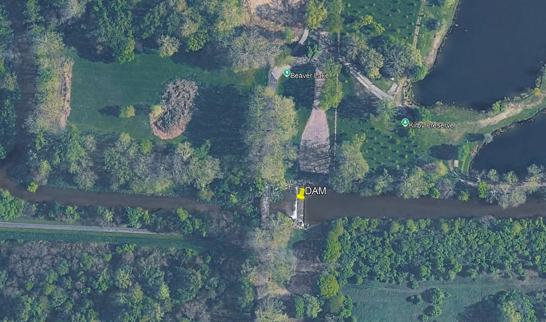
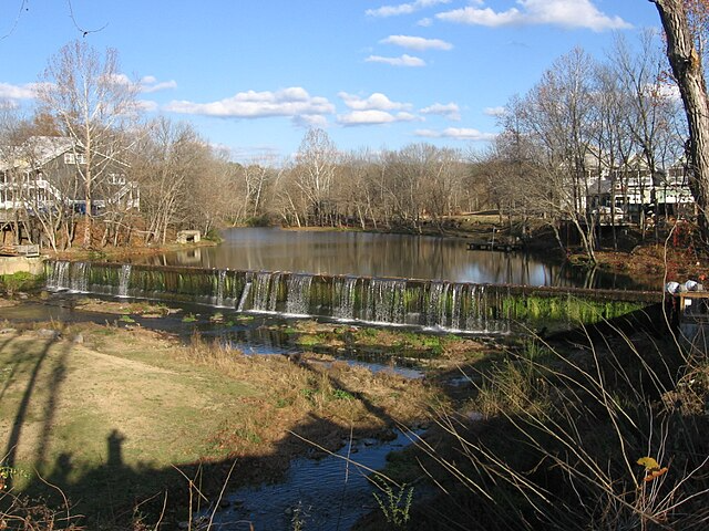
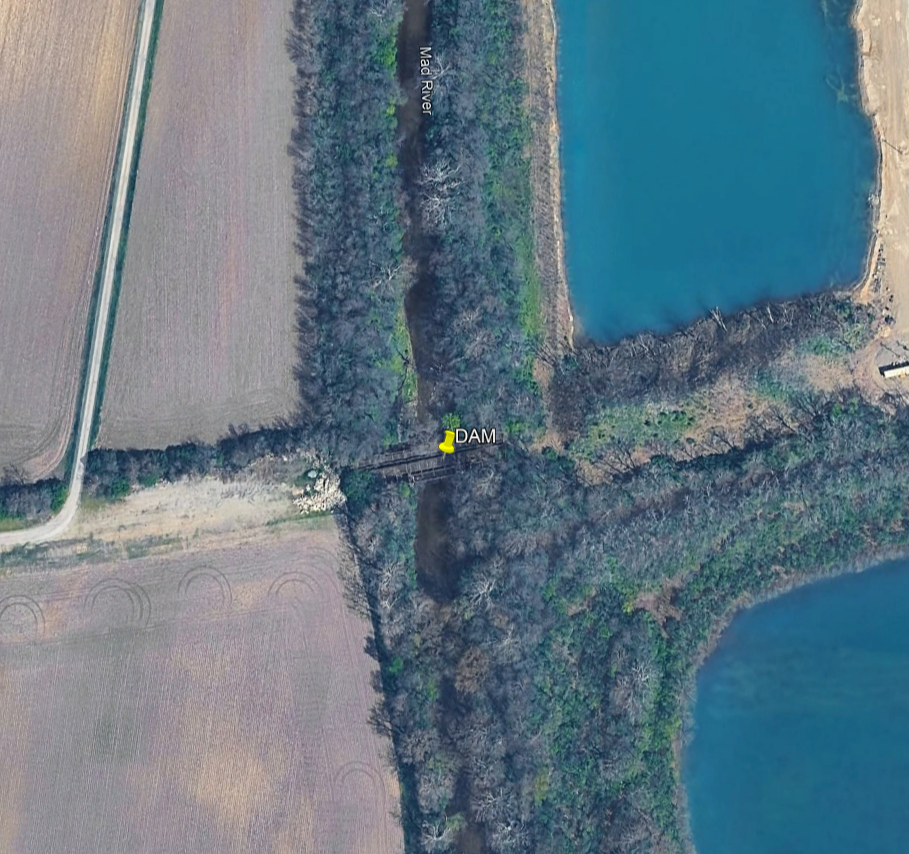
portage left
portage left Surrounded by rich agricultural lands, this region was home to both Native Americans and early pioneers. Buck Creek State Park features a large reservoir for unlimited horsepower boating. An accessible pier adds more options for anglers of all abilities. Hikers and horseback riders will find miles of multi-use trails passing ...